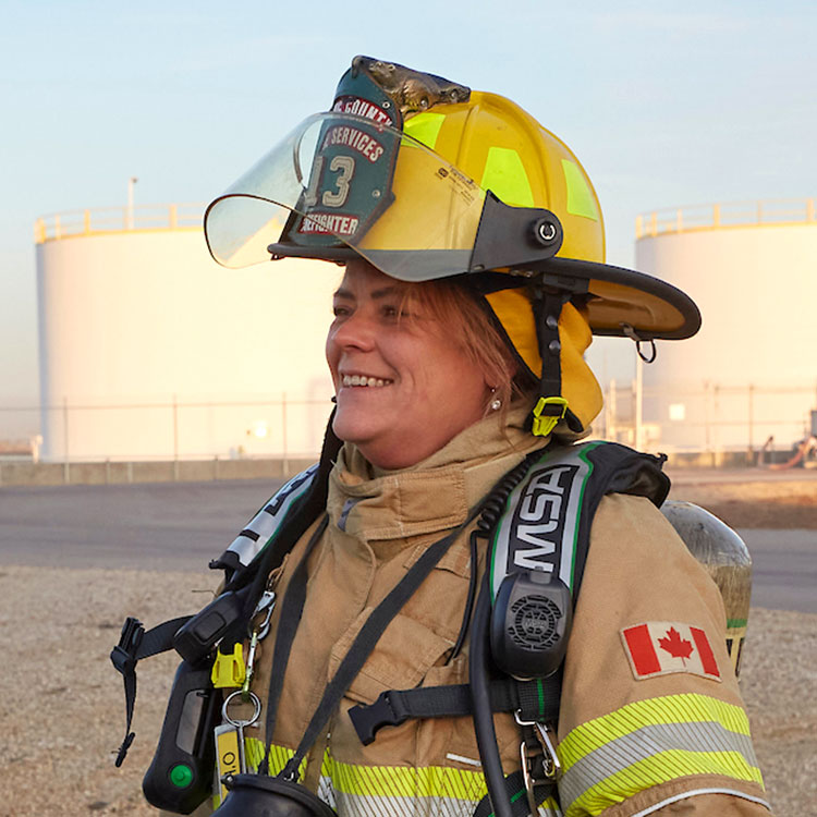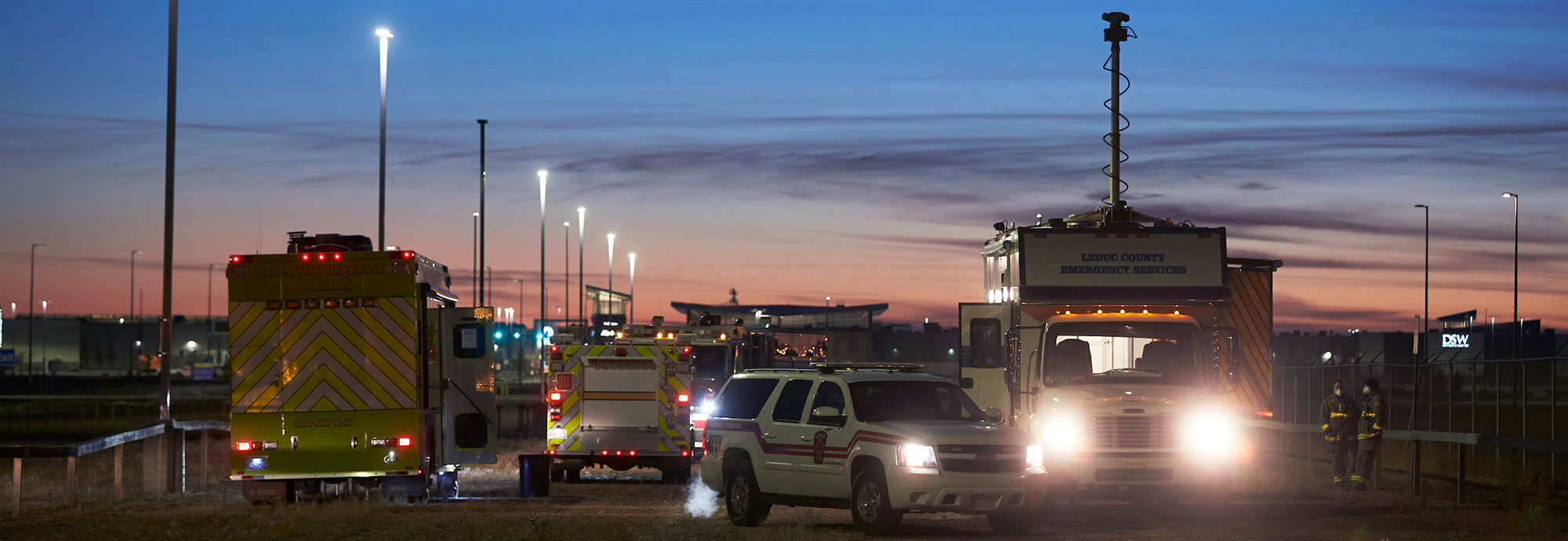
Trans-Northern Pipelines Inc. (TNPI) will notify the public, first responders, municipalities, Indigenous communities, along with federal and provincial agencies of an emergency through various channels of communication, including: calling 9-1-1; use of local authorities’ website messages; and the communication-specific roles established while managing an incident.
TNPI will provide to the public necessary information such as:
- Information on the products in the pipeline and associated hazards.
- Actions to take in the event of an emergency.
- Phone lines and/or websites set up to receive and respond to inquiries during an emergency.
The foundation of our Emergency Management Plan (EMP) is Hazard Identification and Risk Assessment, a process which allows us to identify and assess hazards and risks associated with emergency scenarios, define the scope and frequency of drills and exercises, and prioritize our actions.
Through the Assessment we identify our worst-case scenarios based on the type of refined fuel products we transport and the location of our pipelines. Gasoline was considered for the health and safety impacts due to its flammability and vapours, and diesel was utilized for the modelling of environmental factors due to its ability to move across land and water. We use this information to:
- Develop our overall Emergency Response Plan (ERP).
- Create site-specific emergency plans (SSERP).
- Identify our equipment and resource needs.
- Determine our response times.
- Design our training activities to ensure we practice for the most serious situations.
- Conduct our community relations activities, ensuring we share our plans with local emergency management officials, emergency responders, Indigenous communities, and other impacted and interested parties.
Hazards such as a manufacturing defect, third-party damage, human error, equipment failure, ground movement, lack of ground cover, natural disaster, and acts of sabotage are considered in our comprehensive modelling efforts (region-specific protocols). The modelling illustrates the extent of the potential release under the two scenarios (small and large leak, diesel and gasoline) which identifies an impact by product, or vapour, of pooled liquid from the release or its movement across land and through bodies of water such as rivers, creeks, etc.
Risk Factor Assessment
This modelling evaluates risk factors across four categories:
- Life safety risk factors.
- Environmental risk factors.
- Property risk factors.
- Emergency plans required through regulation.
All data associated with the modelling has been evaluated in 1-kilometre block increments in the directly impacted zones with a safety buffer of 179 metres from each side of the centre of a spill. Impacts, depending on the release location, wind, and product, could include: non-mobile populations; high population density; residential areas; commercial areas; public spaces; discharge to land (parks, terrestrial animals such as pets); plants, such as grass; discharge to water (drinking water, fish, aquatic animals, navigation); main transportation corridors (roadway closures, rail closures, navigation closures); security events; natural disaster; etc.
Additional information on the probability and severity of emergencies that may impact the pipeline and affect the communities can be found in Section 10 of the Emergency Response Plan (ERP).
TNPI has developed an engagement strategy that has the objective of sharing current information regarding its operations, Emergency Response Plan, and site-specific supplemental plans (SSERP). Feedback and input from community officials and rights-holders is considered when refining SSERPs, as well as in additional SSERP development where a defined scenario has the potential to have elevated consequences on communities and impacted parties.
Region-Specific Protocols
TNPI also has detailed protocols for specific areas along our pipeline route. These protocols are available to regional emergency planning officials by contacting us at [email protected] to request a copy for your region.
Emergency Response Equipment and Resources
TNPI has emergency response equipment in Kingston, Lancaster and Mississauga, Ontario and Edmonton, Alberta. In addition, we have relationships with licensed emergency response contractors, QM Environmental and ECRC/SIMEC. These companies have equipment in Saint-Jérôme and Verchères, Quebec and in Stoney Creek and Ottawa, Ontario to respond to land and water based situations. We are also part of the Emergency Management Industry Working Group’s Mutual Emergency Assistance Agreement, which means that in an emergency we can call upon other pipeline companies to share additional human resources, equipment and tools to increase our existing emergency response capabilities.
Response Times
Our pipelines are monitored 24 hours a day, seven days a week, 365 days a year, and we can remotely operate the entire system. If we identify an abnormality that may suggest a leak or other disturbance, or if we are notified of a possible abnormality, our first step is always to remotely shut down the pipeline so we can investigate.
Based on our Hazard Identification and Risk Assessment, we have established the following response times for Emergency Response:
- Phase 1 — Pipeline shutdown (remote): immediate.
- Phase 2 — Arrive on site: 30 minutes to 2.5 hours.
- Phase 3 — Initial assessment on site: 60 minutes to 3.5 hours.
- Phase 4 — Initial emergency response equipment on site: 80 minutes to 8.25 hours.

